Ohio Game Fishing banner

Lorain

1.4K views 8 replies 6 participants last post by  walleyechaser  
#1 ·
Will be heading to Lorain this weekend, weather permitting for walleyes and perch, westbound on turnpike from Ravenna area. Need some easy directions to the Lorain boat launch. Keep hearing about the infamous 33/17 results. Is this still the case ? Curious what depth water and how far out thats puts you. Also where is sandbar ? Most of my time is around the Ashtabula/Geneva area. Any details would be a great help.

Thanks
Longspur
 
#2 ·
Longspur,
Go to Dean Cliftons web site...he has a map listed of the sand bar with some basic coordinates.
The Hotwaters public launch is located in downtown Lorain behind the Water works plant and old power generation station. When I was there two weeks ago the road along side the Police station was closed to thru traffic. you'll have to go past the station and turn right onto a one way street or at the first traffic light which will put you on the other side of the closed area of the road. If you're coming from the east I believe you want to take exit 57 and follow it north into town. Maybe someone else can give you a better route, but this will get you there.

Oh yeah...here's Deans' link. Take a 330 degree heading out of the harbor and you'll be there in about 10-15 minutes (approx. 5-6 miles out).

http://www.cliftond.com/SANDBAR1.JPG
 
#3 ·
get off the yurnpike @ rt 57 and head north all the way there till you see the police station on rt 6. keep going behind the police station and you will start seeing the boats and parking lots. there will be signs too along rt 57,but some will be for the launch that is on the black river. .more like the 33-12 line now .
 
#4 ·
Longspur~
Go to www.mapquest.com. In the upper right click on the "map" circle. In "enter starting address" type in Ravenna, Ohio (in the appropriate boxes). In "enter destination address" type Oberlin Ave. & W 1st St. Lorain, Ohio (in the approprate boxes). Click and the directions will appear. Follow them closely. That's better than going thru town down Rte. 57. Go to the last direction and click on the map icon. The map will show that "Broadway Ave." continues north of Rte. 6. However, it is closed due to construction. Instead, go left on Rte. 6 (which is also called "W. Erie Ave.") to Oberlin Ave. Turn right. Follow to ramp. The map shows that Oberlin Ave. ends at W. 1st St. but the entrance to the ramps is really a continuation of Oberlin Ave. Just continue down the hill, over the tracks and around the back of the building. Presto, you're there. 6 lanes and free!!!
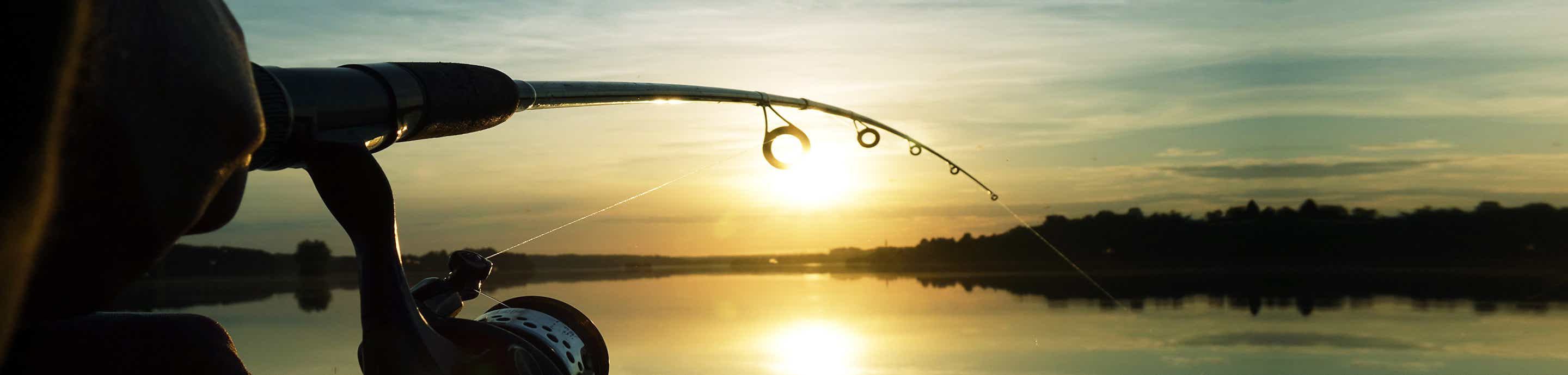
The 33/17 line pretty much should put you on the fish or at least in the general area (unless Frances moved them). It's about 7 miles out or so. I plan on being there (winds permitting) at first light so gimme a shout on Ch. 79 (boat's name is "Eyes Demise"). If I'm on fish I'll gladly share it with ya. However, last week I limited by 9 a.m. so if you don't get a response it means I'm already cleanin' fish (Man, I hope that's the case... no offense). Perchin' is heating up also. East of the Lorain harbor. Look for the pack.
Good luck!
 
#6 ·
put-put~
Vermilion has a public ramp but cost is $6. Ramp is located on the west side of the river just south of the Rte. 6 bridge (it can be seen from the bridge). Rte. 6 is also called Cleveland-Sandusky Rd. once you are in Vermilion. (Note... in Lorain it is called W. Erie Ave). Immedately west of the bridge on Rte. 6 is a traffic light with a street going south along the river. Follow that street to the public ramp. Nice ramp but not as big as Lorain. To get there take Rte. 2 west to Vermilion Rd. Go north on Vermilion Rd. to Rte. 6. Turn left and follow over the bridge. Turn left at traffic light.Further west (about 4 miles) is Cranberry Creek Marina. They charge $6 also but only have one lane. Ramp is nice but a bit steep. Watch youself going out of the marina as sand sometimes builds up at the entrance to the marina. I suggest lift your outdrive or motor just a bit. Cranberry Creek is very close to Ruggles Beach fishing. Go out of the marina and head slightly northeast. Vermilion River is 3.8 miles east of Ruggles.
Good luck!
 
#9 ·
The road was closed at the police station. If you coming from the Ohio turnpike and then on RT57 turn left at red light in front of the police station. Go 1 block and make a right follow it to the end then turn left. Follow this road to the water works and a stop sign then make a right. You can also turn at the second road also. You have to go around the bluiding then make a right and rig up